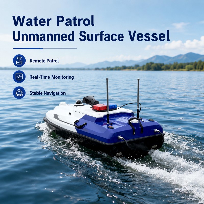
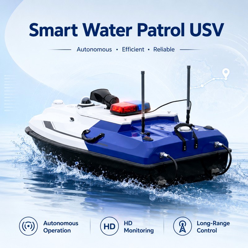
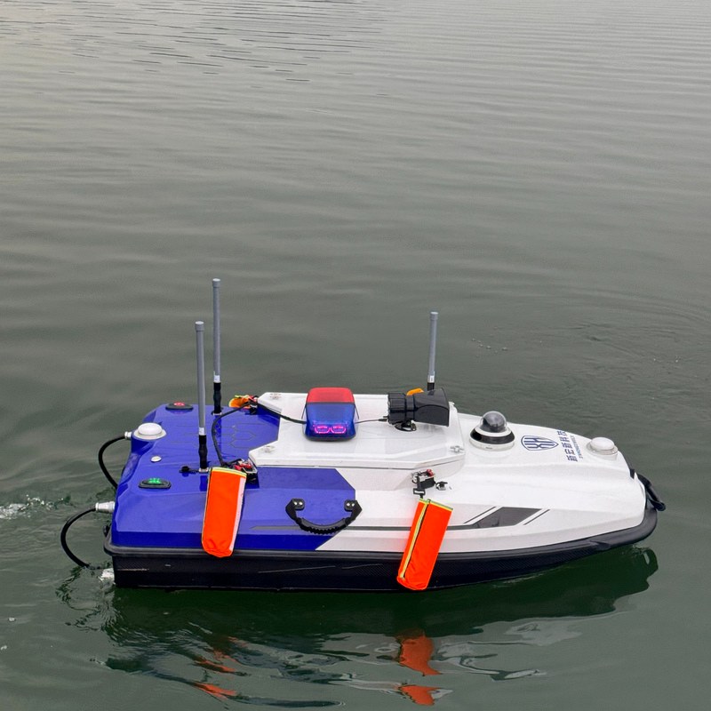
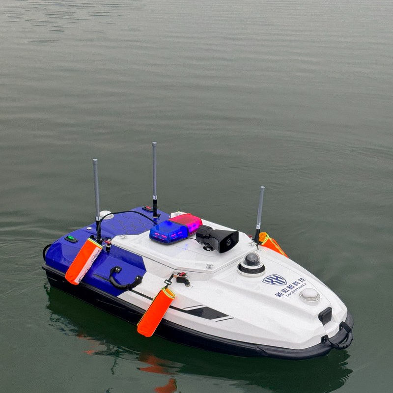
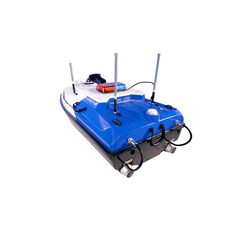
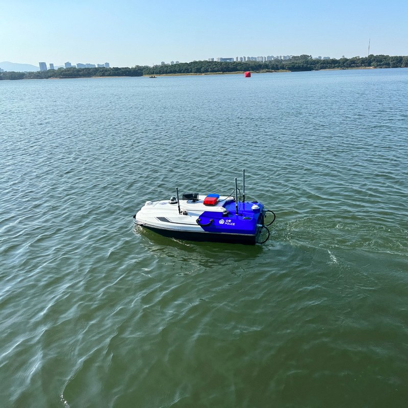
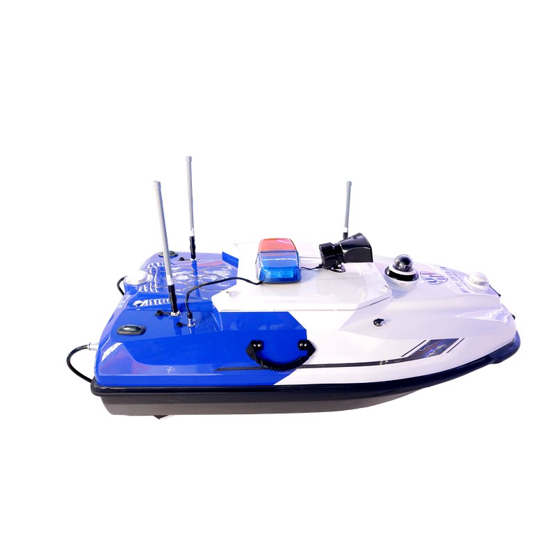
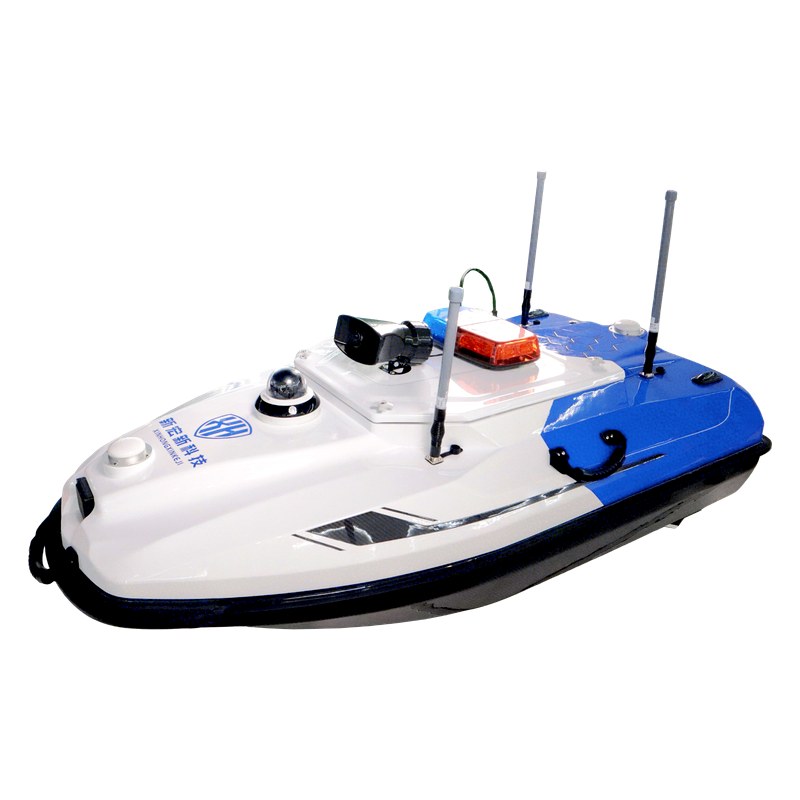
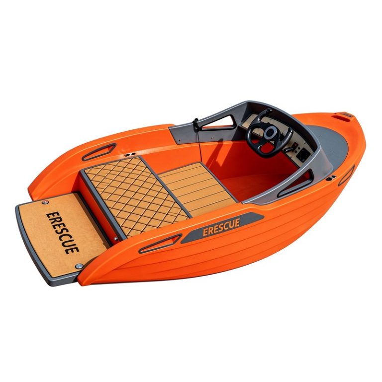
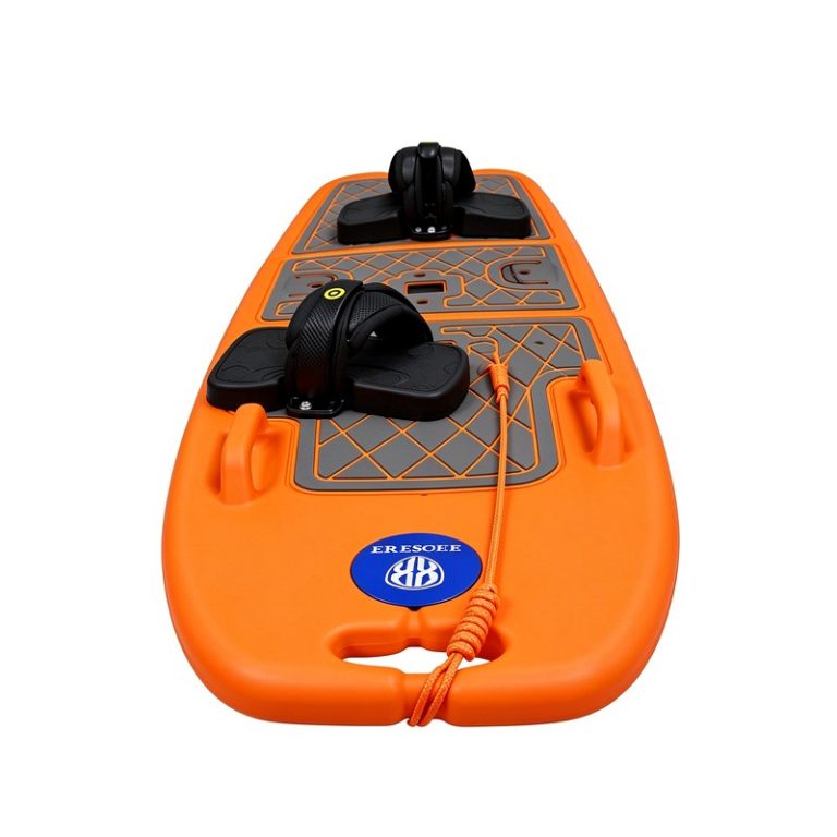
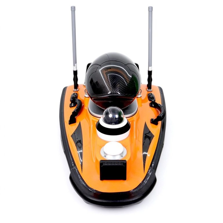
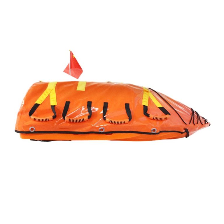
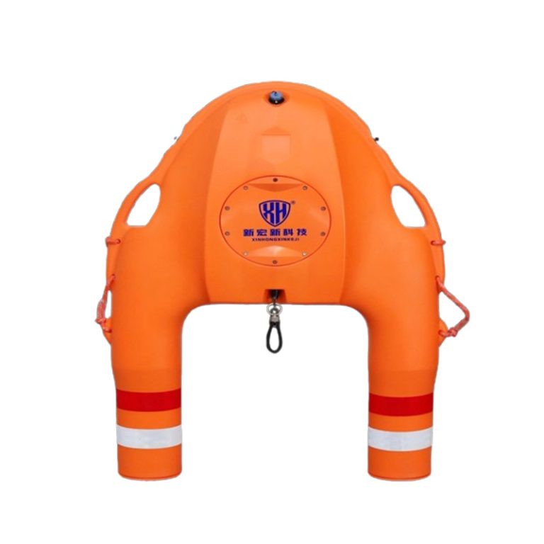
The Unmanned Water Patrol Boat is a remote-controlled surface vessel designed for autonomous waterway management and monitoring. It supports routine patrol, surveillance, and data collection across rivers, lakes, reservoirs, and harbor areas.
Key Features
01. Remote-Controlled Surface Patrol
Operators navigate the vessel remotely for waterway inspection, surveillance, and monitoring tasks. Suitable for checking bridges, shorelines, dams, and restricted areas without placing personnel on the water.
02. Payload-Ready Platform
Configurable for various observation and data-collection payloads. Supports mission equipment for video recording, water quality sampling, and area survey tasks depending on operational requirements.
03. Built for Extended Missions
Robust hull design suitable for freshwater and coastal deployment. Supports scheduled patrol routes and routine monitoring programs where regular waterway awareness is needed.
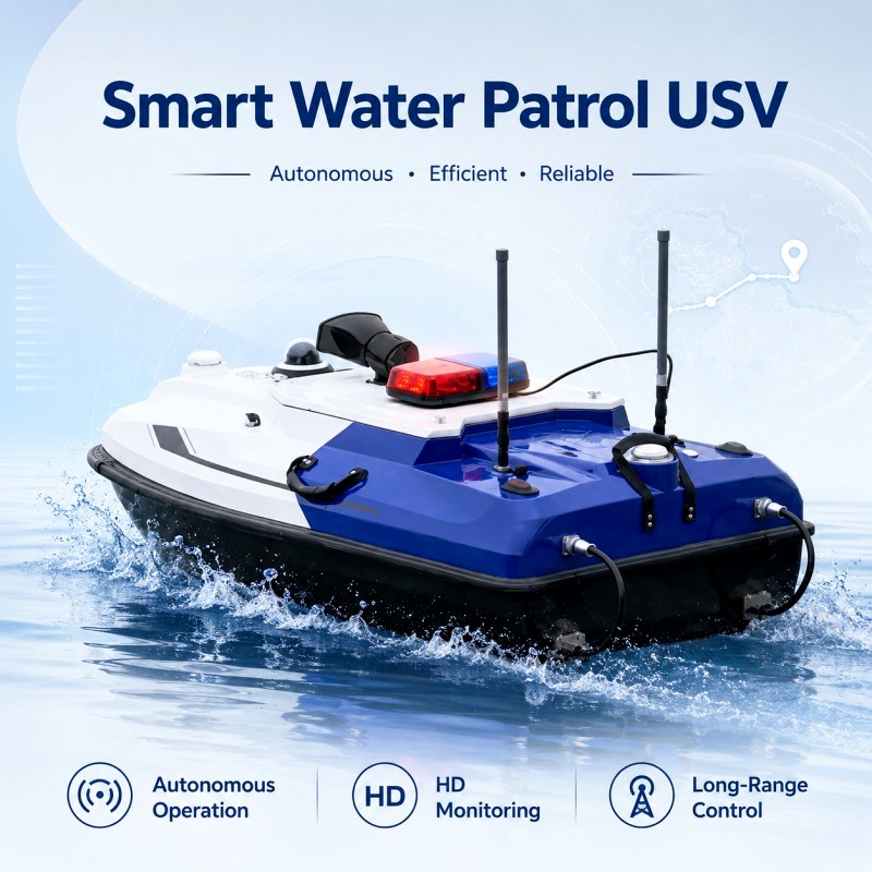
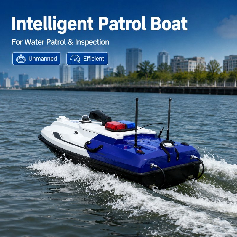
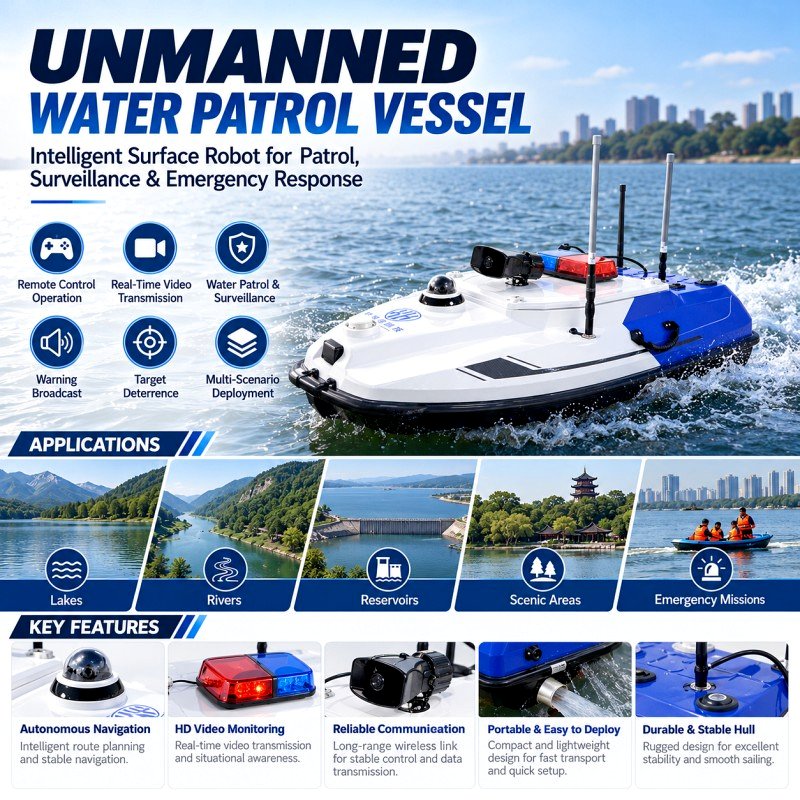
| Product Name |
Unmanned Patrol Boat |
| Model |
XJL-15 |
| Manufacturer |
Shenzhen Xinhongxin Technology Co., Ltd. |
| Country of Origin |
China |
| Product Type |
Remote-Controlled and Autonomous Surface Platform for Patrol and Survey Applications |
| Hull Configuration |
Double-Layer Monohull with a Removable Upper Cover |
| Hull Material |
Carbon-Fiber Polymer Composite Incorporating Kevlar |
| Overall Dimensions |
1500 × 775 × 510 mm |
| Hull-Shell Weight |
15 kg |
| Maximum Payload |
50 kg |
| Specified Draft |
9.5 cm |
| Hull Protection Rating |
IP68 |
| Main Control Unit Protection Rating |
IP67 |
| Maximum Vessel Speed |
6.3 m/s |
| Specified Operating Endurance |
4 Hours at a Travel Speed of 2 m/s |
| Battery Configuration |
Two Rechargeable 40 Ah Battery Units Using 21700 Cells |
| Propulsion Motor Type |
Sensorless Brushless DC Motor |
| Specified Propulsion Operating Voltage |
33 V |
| Thruster Dimensions |
320 × 96 × 111.5 mm |
| Maximum Motor Speed |
4800 rpm |
| Thruster Mounting |
Plug-In Structure for Removal and Replacement |
| Propulsion Protection |
Ducted Design Intended to Reduce Exposure to Aquatic Vegetation |
| Control Modes |
Manual Remote Control and Autonomous Navigation |
| Waypoint Capacity |
Up to 512 Waypoints per Planned Navigation Task |
| Cruise Control |
Constant-Speed Travel with Operator Directional Control |
| Station Keeping |
Supports Position Holding; Current-Speed Limits Require Confirmation |
| Obstacle Avoidance |
Millimeter-Wave Radar for Forward Obstacle Avoidance During Autonomous Navigation and Return |
| Return Functions |
Operator-Initiated, Communication-Loss, Low-Battery, and Mission-Completion Return |
| Mission-Completion Return Options |
Direct Return or Return Along a Planned Route |
| Positioning and Heading |
Dual-Antenna GNSS System with BeiDou Support |
| Radio Communication |
2.4 GHz |
| Radio Control Distance |
Up to 2.0 km According to the Technical Specification Table |
| Cellular Connectivity |
4G Remote Monitoring and Control, Subject to Network Availability and Connection Quality |
| Controller Dimensions |
272 × 183 × 94 mm |
| Controller Interface |
Touchscreen with an Android Application |
| Controller Endurance |
Specified as 6–20 Hours |
| Video Functions |
Panoramic Video Monitoring and Photography |
| Voice Function |
Integrated Loudspeaker for Remote Announcements |
| Warning Lights |
Dual-Color Lights Indicating Positioning and Navigation Status |
| Battery Status Check |
External Button for Checking Vessel Battery Level Without Opening the Compartment |
| Navigation Records |
Rolling Storage of the Most Recent 50 Voyage Logs |
| Data Storage |
Local Storage with Support for Multichannel and Remote Storage |
| Software Functions |
Mission Planning, Autonomous Navigation, Data Acquisition, Data Post-Processing, Vessel Parameter Settings, Video Display, and Coordinate Conversion |
| Instrument Installation |
Enclosed Moon-Pool Arrangement for Compatible Survey Equipment |
| Supported Payloads |
Echo Sounder, ADCP, Multibeam System, Water-Quality Analyzer, and Optional Side-Scan Sonar |